2nd Dec, 2020 14:00
A Middle Eastern Journey | Live Online

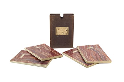
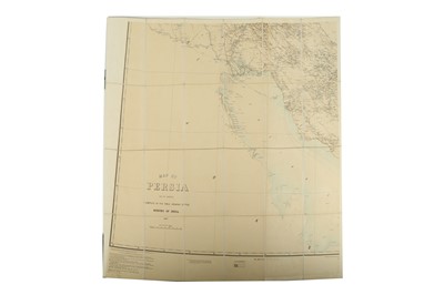
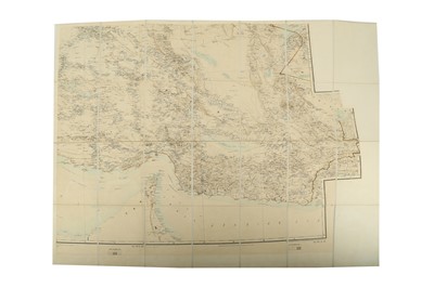
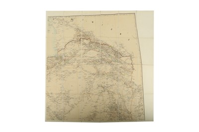
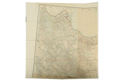
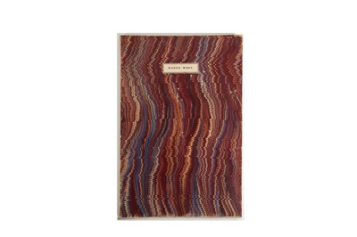
A COMPLETE SET OF FOUR MAPS OF PERSIA
SURVEY OF INDIA, 1897
A COMPLETE SET OF FOUR MAPS OF PERSIA, SCALE 1 : 1,013,760
COMPILED IN THE SIMLA DRAWING OFFICE, SURVEY OF INDIA, 1897
Edited in 1902
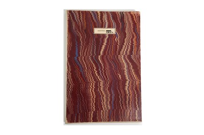
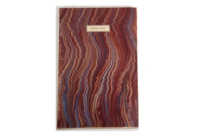
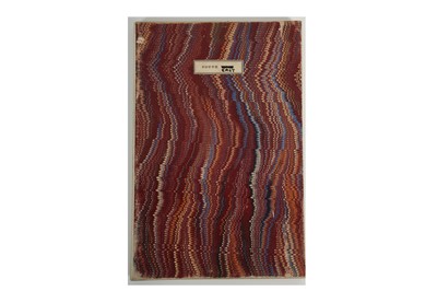
Each 24.5cm x 16cm panel laid on calico, foldable, forming the four complete quarters of the country, the marbled end papers labelled North West, North East, South West, South East, in fitted box, labelled London Edward Stanford, Geographer to His Majesty, 12, 13, 14 Long Acre W.C., each map 73.5cm x 98cm, the box 25cm x 17cm x 5cm.
Sold for £1,062
Includes Buyer's Premium
Do you have an item similar to the item above? If so please click the link below to submit a free online valuation request through our website.

