31st Jul, 2020 11:00
Books & Works on Paper including Aviation & Transport
British Topography.- Plot (Robert)
British Topography.- Plot (Robert)
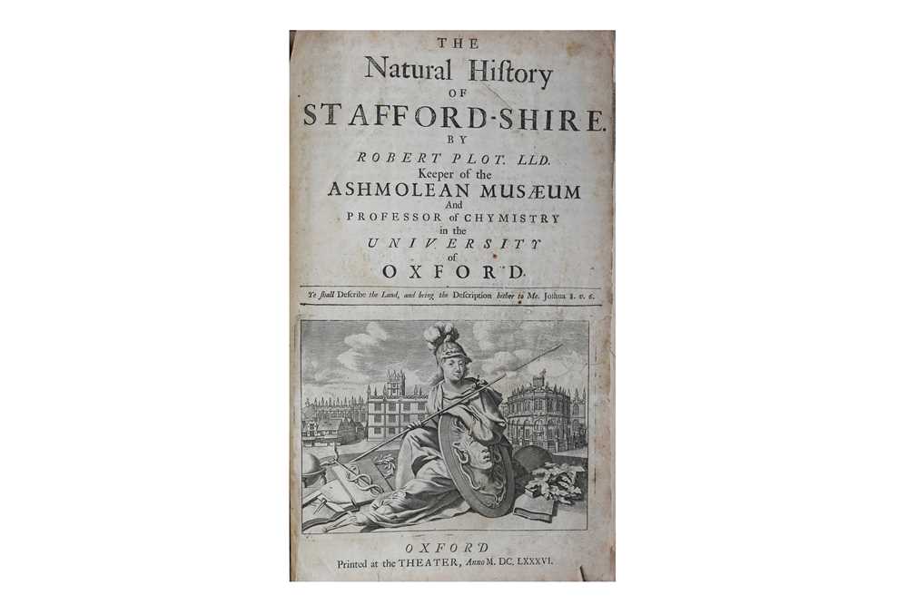
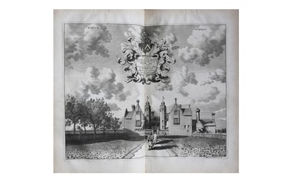
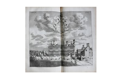
The Natural History of Stafford-shire, FIRST EDITION, title with large engraved vignette, coat of arms, decorated initial, large engraved folding map laid down, 36 of 37 plates (lacking n. xiv), X4 torn, paper flaw to Z4, plates torn at fold or chipped, water staining throughout, light browning, some spotting, original blind tooled boards, re-backed, [Wing P2588], worn, Printed at the Theater, Oxford, 1686; Redford (George) & Hurry Riches (Thomas) The History of the Ancient Town and Borough of Uxbridge…, 3 lithograph plates only, one folding, some foxing throughout, ownership inscription to front free endpaper, leaves uncut, quarter calf, joints splitting, 4to, William Lake, 1818; Cooke’s Topographical Library, or British Traveller’s Pocket. County Directory. Wilshire, wood engraved frontispiece, colour folding plate, half calf, rubbed, 12mo, Sherwood & co., c. 1820; First Report from Select Committee on Metropolis Improvement; with the Minute of Evidence, Appendix, and Plans, 8 lithographed folding plans, hand finished, half calf, worn, upper board detached, 1840; with 5 titles on related subjects, including A New View of London, vol. 1 only, engraved arms, folding table, double column, browned, contemporary blind tooled calf, worn, 8vo, R. Chiswell & F. Churchill, 1708, and tephens (James Francis) Illustrations of British Entomology; or a Synopsis of Indigenous Insects, vol. 2 only, handcoloured plates, contemporary cloth, rubbed, upper board detached, 4to, Baldwin & Cradock, 1829 (10)
Sold for £400
Includes Buyer's Premium
Do you have an item similar to the item above? If so please click the link below to request a free online valuation through our website.


