24th May, 2023 11:00
Books & Works on Paper

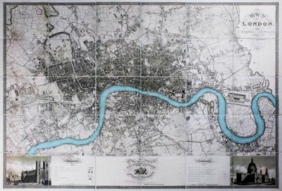
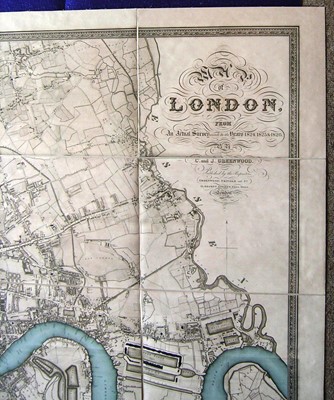
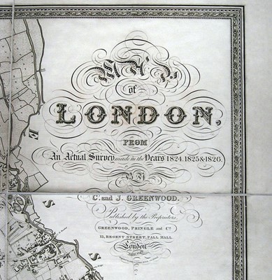
Greenwood (C. & J.) Map of London, from an Actual Survey Made in the Years 1824, 1825, & 1826
Greenwood (C. & J.)
Map of London, from an Actual Survey Made in the Years 1824, 1825, & 1826, large reproduction map after the original, republished by foldingmaps.co.uk, inset views of St Paul's and Westminster Abbey, dissected and laid on cotton, folded, c.129 x 188cm, originally published by Greenwood, Pringle & Co., 21 August 1827 [21st century]
"The Greenwood brothers Christopher and John spent three years preparing this remarkable new survey of London, prepared on the lavish scale of 8 inches to a mile, illustrating for the first time the planned development of Belgravia by Thomas Cubitt, the completion of the Grand Surrey Canal and Regent's Park one year before it was completed in 1828." - Howgego, Printed Maps of London 1553 - 1850, 309.
Sold for £425
Includes Buyer's Premium
Do you have an item similar to the item above? If so please click the link below to submit a free online valuation request through our website.

