24th May, 2023 11:00
Books & Works on Paper

Europe.- Maps
Europe.- Maps
A collection of 75, including:
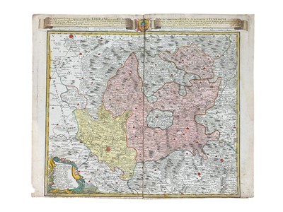
Homann Heirs (pub.) Repraesentatio Geographica Circuli Egerani… [Czech Republic], hand-coloured, trimmed at foot, creasing, some staining, 1742;
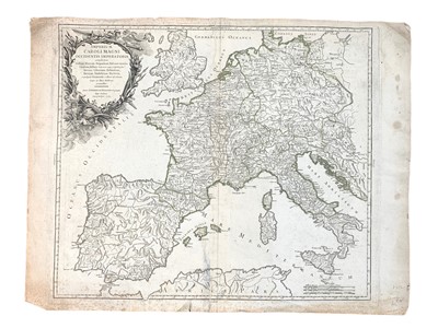
Vaugondy (Robert de) Imperium Caroli Magni Occidentis Imperatoris…, spotting and tears, 1752;
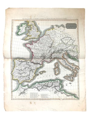
Neele (Samuel) The World as known to the Antients, hand-coloured, from An Universal Atlas, published by T. Stackhouse, 1783;
The Roman Empire… by D’Anville, from Thomson’s Classical & Historical Atlas, hand-coloured, some spotting, 1819;
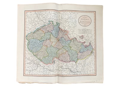
Cary (John) A New Map of Bohemia or Moravia… [with] A Map of the Central States of Europe…, hand-coloured, 1826;
with others similar, the majority published by the Society for the Diffusion of Useful Knowledge, duplicates, and two modern reprints of maps by Ortelius, various sizes (75)
Sold for £375
Includes Buyer's Premium
Do you have an item similar to the item above? If so please click the link below to request a free online valuation through our website.

