27th Jan, 2022 11:00
Books & Works on Paper including Contents from the Estate of Paul Gallico

Maps - various
Maps.
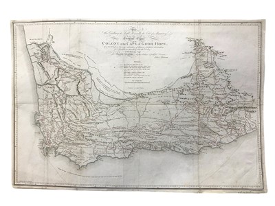
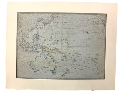
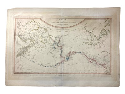
Barrow (John) General Chart of the Colony of the Cape of Good Hope [3 x copies], all with folds, one copy with small closed tear, one copy cropped close removing publisher and date, the last with staining to margin, 465 x 695mm, Cadell & Davies, 1800; Roberts (Henry) Chart of the N.W.Coast of America and the N.E.Coast of Asia Explored in the Years 1778 and 1779, second edition, lightly browned, c. 390 x 670mm, Faden, 1794; Reinecke (I.C.M.) General Charte von Australien, original blue-tinted paper, slightly foxed, 450 x 610mm, Weimar, 1806.
Sold for £500
Includes Buyer's Premium
Do you have an item similar to the item above? If so please click the link below to submit a free online valuation request through our website.

