30th Jun, 2021 11:00
Fine Books & Works on Paper

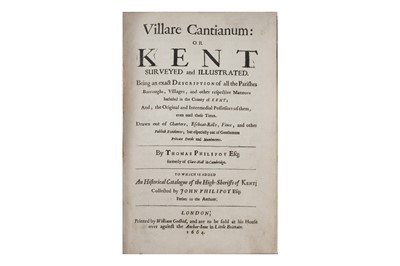
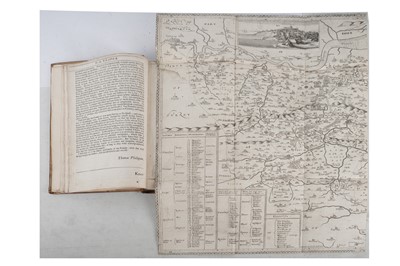
Philipot (Thomas) Villare Cantianum or Kent, 1664
Philipot (Thomas)
Villare Cantianum or Kent Surveyed and Illustrated,
first edition, large folding engraved map attached in 2 halves with old paper repairs to reverse, 4 engraved illustrations in text, p.98 torn at corner with small loss of text, p.313 torn at fore-edge with small loss, some contemporary annotations in a few margins, later diced calf, gilt, a.e.g., joints starting to crack, lower portion of spine missing, 4tgo., William Godbid, 1664.
Do you have an item similar to the item above? If so please click the link below to submit a free online valuation request through our website.

