20th Nov, 2019 10:00
Books & Works on Paper, to include Travel, Sciences, Sport & Illustrated Art
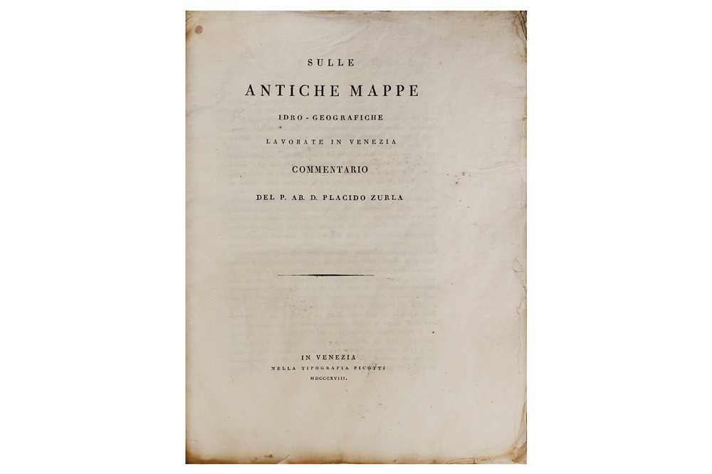
Zurla (Placido) Di Marco Polo e degli altri viaggiatori veneziani più illustri..., con appendice sulle antiche mappe idro-geografiche lavorate in Venezia, vol. 1, of 2 only, large folding engraved world map, edges browned, wormtrail at gutter of first 10 leaves, some spotting, publisher's printed wrappers, water stained and creased, laid down, spine restored [Cordier Sinica 1992; Lowendahl 812], 1818; with Sulle antiche mappe idro-geografiche lavorate in Venezia. Commentario, 3 folding engraved maps, unopened, contemporary blue wrappers, soiled, [IT\ICCU\TO0E\111386], Giuseppe Picotti, Venice, 1818, 4to (2) *** A variant issue to the one recorded by Lowendahl and Cordier, with different pagination and without volume 2, but with the rare appendix containing 3 folding maps ('Abbozzo del mappamondo Di F: Mauro Camaldolese'; 'Carta da navegar de Nicolo et Antonio Zeni'; 'Abbozzo della mappa dei viaggi di Marco Polo'). The second map, depicting the North Atlantic, first appeared in Venice in 1558 with the account of Nicolò and Antonio Zeno’s discovery of America in 1380 by M. Caterino Zeno ('Dello scoprimento dell’ isole Frislanda, Eslanda, Engrouelanda, Estotilanda e Icaria fatto sotto il Polo artico da’ due fratelli Zeni, M. Nicolo il K. e M. Antonio, Francsco Marcolini', Venice, 1558). The two Venetian brothers, would have sailed to the north Atlantic around 1380, and even reached Nova Scotia. The narrative of the Zeno’s adventures was disputed at the time of publication and remained a source of controversy even into the 20th century.
Estimated at £400 - £600
Do you have an item similar to the item above? If so please click the link below to request a free online valuation through our website.


